Earlier this year, Magellan announced a new partnership with National Geographic to bring USGS topo maps to Magellan handhelds. I’m currently testing the eXplorist 510 so I thought this would be a good time to check out the new map downloads.
Like Garmin’s BirdsEye Topo, this is an annual subscription-based plan that runs $29.99 per year for these raster maps (if you aren’t familiar with that term, it’s explained towards the end of this post).
The signup and download process was relatively straightforward, although I have seen cleaner ways to do things with less steps. Still, it worked. You have to use Magellan’s VantagePoint program to download the maps though, and it’s PC only.
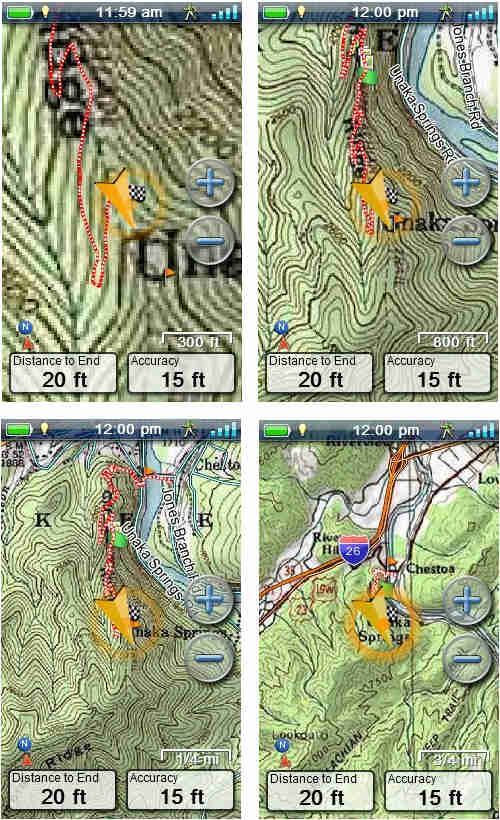
The nice thing about these maps is that they basically put USGS topos on your screen. Combined with an identical paper map, it makes it pretty hard to misjudge you location!
Here are a few images, stepping from the tightest zoom level where these maps are available (300′) to a mid-range zoom, before getting to the farthest out 1:24,000 scale map (1/4 mile), after which it jumps to a 1:100,000 scale map (bottom right)…

Tech talk: Raster vs vector
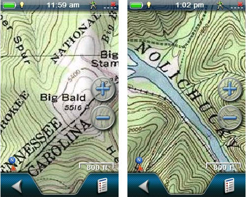
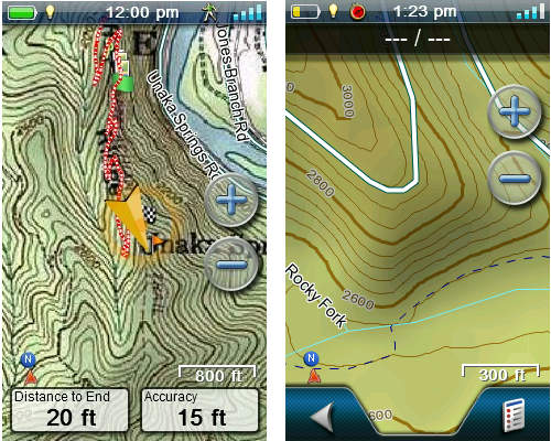
Let’s step back and look at two different types of maps. Raster maps, like the National Geographic TOPOs we are discussing today (screenshot at left below), are made up of images. Because of that, they take up a lot of memory. They are also limited by the fact that you can only zoom in or out so far before the image becomes fuzzy.
Vector maps, like the Magellan Summit Series (screenshot below at right), are made up of data, which show up on your screen as lines and points. Because the files are data and not images, they take up very little memory. They also have an advantage in that you can zoom in and out very far without any blurring.
If you bought a Magellan bundled with the National Geographic TOPO maps, this video will help walk you through how to use the coupon code.
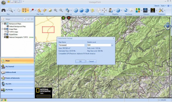
Here’s a screenshot of VantagePoint while downloading maps. Click for a full-size image…

Maps can be saved to the device, an SD card or your hard drive.
Sound off Magellan owners! Have you ponied up for a subscription? If so, what do you think?
DIGITAL JUICE


No comments:
Post a Comment
Thank's!